- Snowdon -

I count walking as being one of my hobbies. Walking for pleasure that is and for me the degree of pleasure tends to diminish rapidly after about eight miles. Notwithstanding, each year my wife and I take a walking holiday with the HF Holidays organisation. With them one is assured of comfortable hotel style accommodation, most excellent food and a selection of interesting led walks. In September 2006 we stayed with them in the delightful old walled town of Conwy. During that week I was able to achieve my modest ambition of ascending Snowdon. We were to ascend by the Snowdon Ranger route and descend by the Rhyd Ddu path. The distance was seven and a half miles and there was of course a hefty 3000 feet of ascent.

Here are some of the photographs taken on my 'vest pocket' Sony W50 digital camera.-

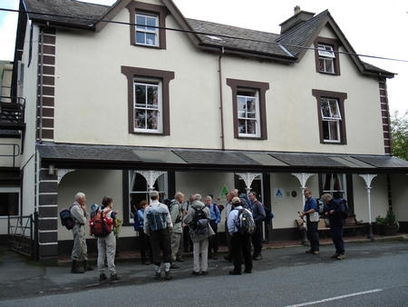
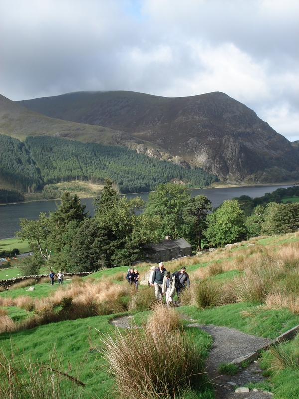
The coach dropped the party at the Snowdon Ranger Youth Hostel.

The ascent commences with a gravelled zig-zagging path.

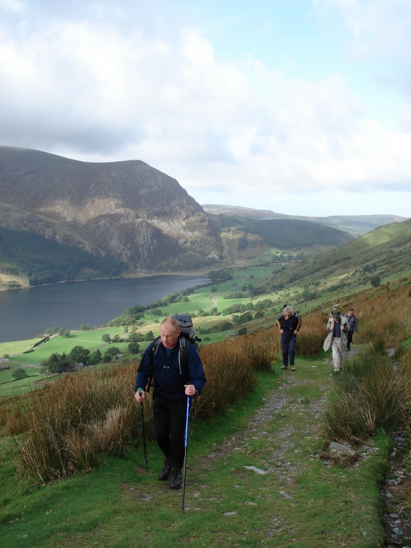
But changes to a stony track.

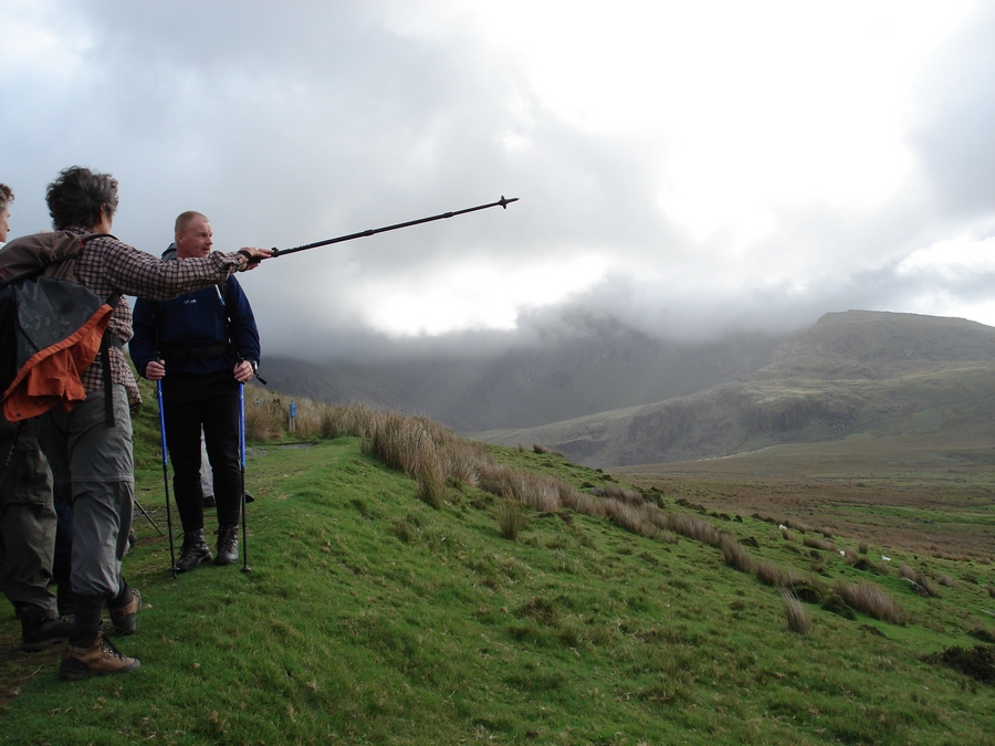
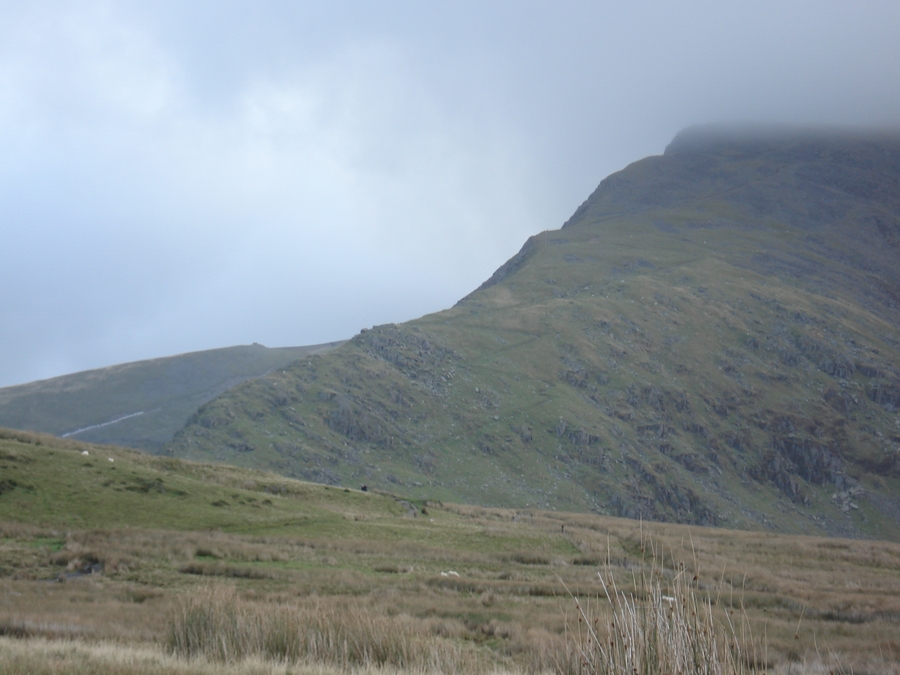
The summit was hidden in cloud.

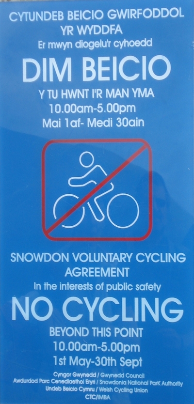
Fancy cycling up here at night anybody?

The path is the just discernible zig-zag, after which it climbs steeply.

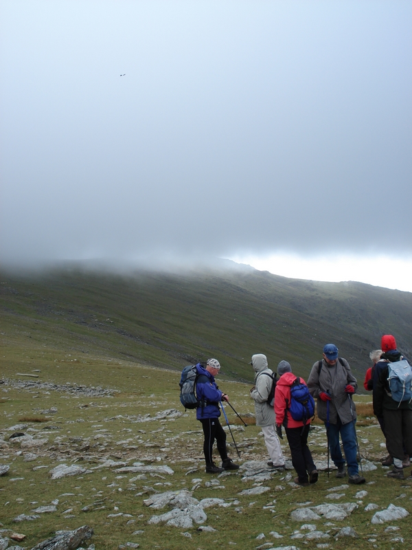
We were advised to cover up prior to entering the cloud.

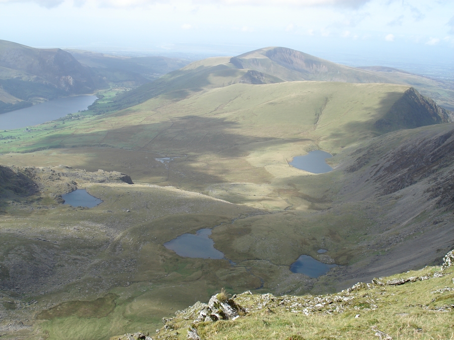
Below us is Cwm Clogwhyn and our route up so far.

As we took a breather the cloud rolled back.

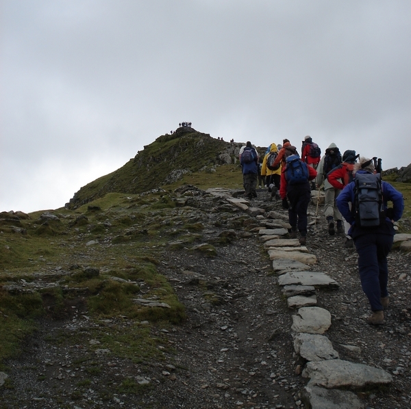
The summit was in sight at last.

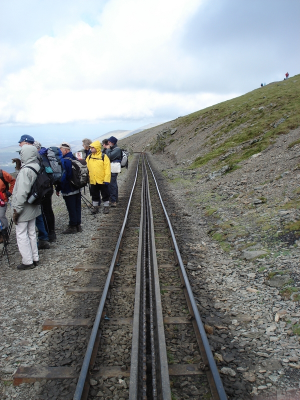
After a steep climb we reached the railway.

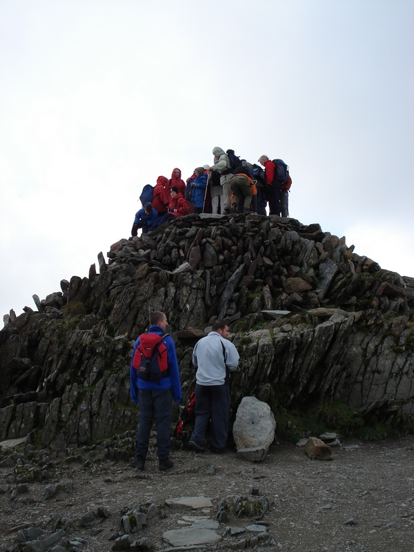
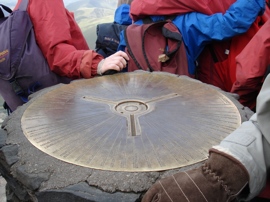
Then the final climb to the summit cairn. We found that we were not the only ones there!
An abyss lies to the left.

The top of the top.

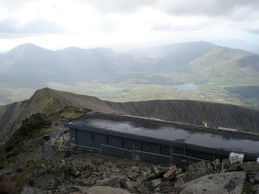
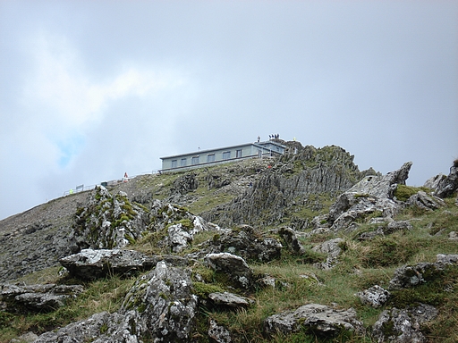
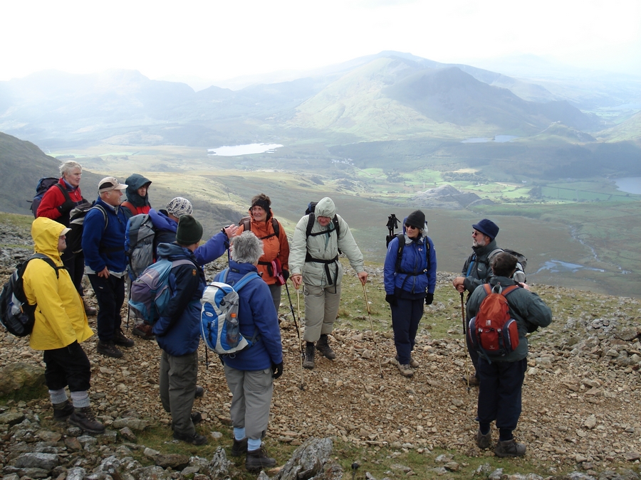
The old cafe was being demolished. Our route down would be via the ridge to the left.

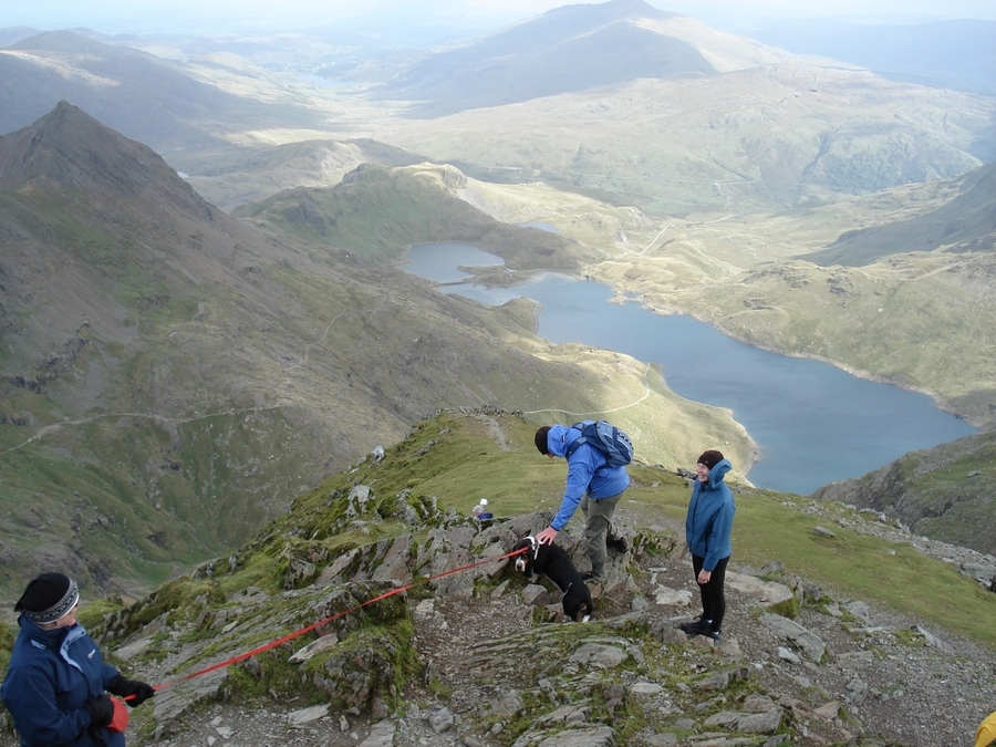
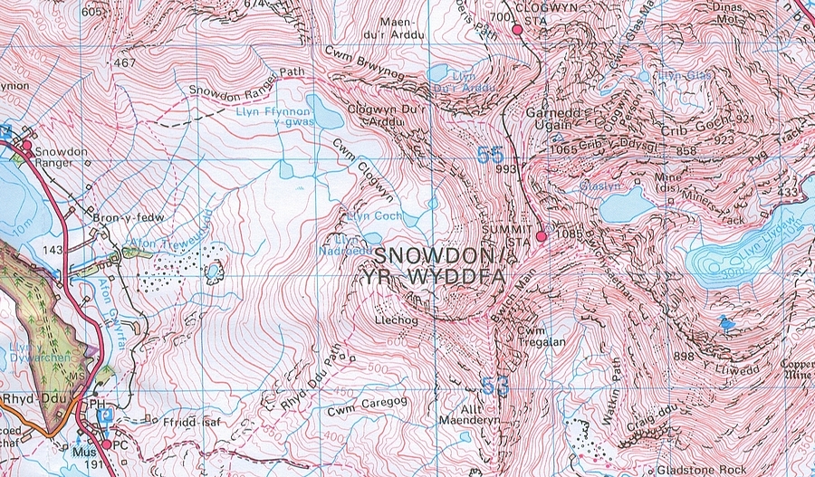
The climb was worth every step to see these wonderful views from the summit. The Pyg Track is to the left and the Miners' Path passes near the lake.

We began the descent.

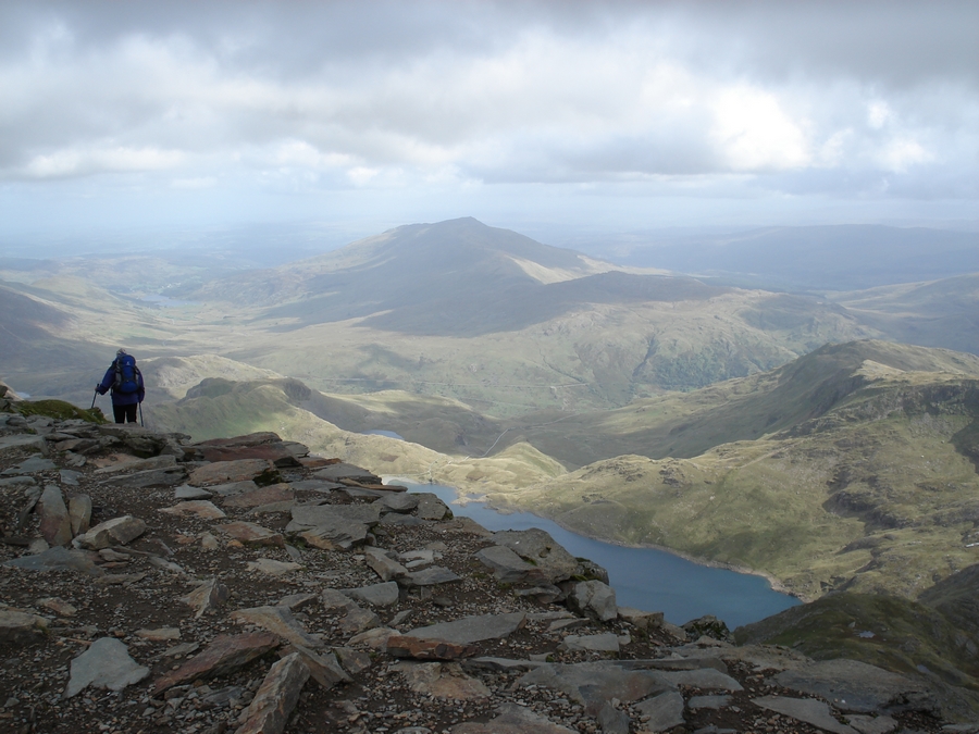
Our final view of the summit as we descended and the cloud returned.

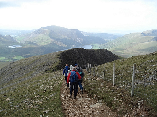
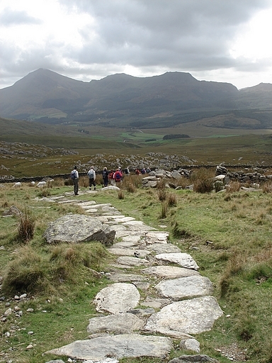
The final part of the Rhyd Ddu path.
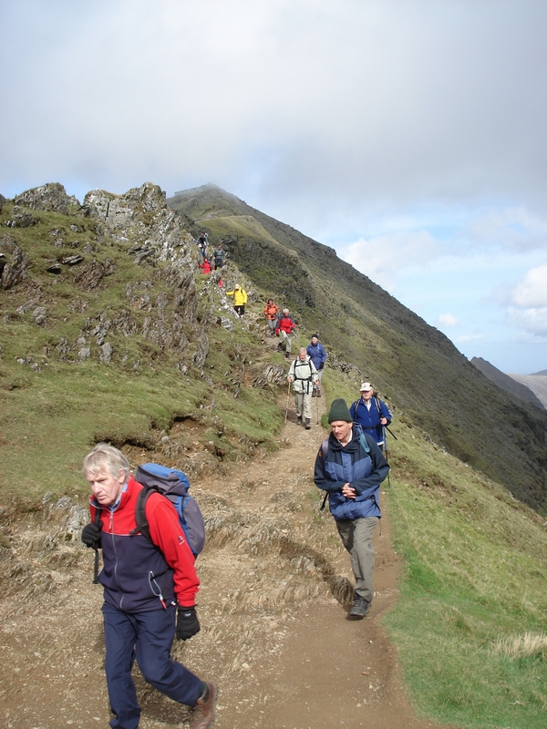
Back at Rhyd Ddu an information board told us that half a million people reach the summit of Snowdon annually. So it's not such a big deal then after all, although I suppose the larger proportion use the train. What do you think? If you haven't already, why not try it yourself to confirm your opinion? The routes we used are probably the easiest but for four miles every step is upward and to climb 3000 feet in that distance takes some considerable effort. In misty conditions to leave the exact path could be seriously dangerous to your health as at times one is pretty close to the very quick and final way down. Bad-weather gear and good boots are essential at all times. And it's best to have a leader who has been up there a few times previously. Ours, a Birmingham fireman had stopped counting after 40 ascents. Knowing the terrain and its weather he was ready for any eventuality by carrying an 8 man shelter!

Return to Index

Entire text & images © 2007 D.C.Adams

Rev 310707